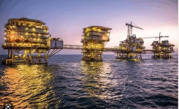
The Federal Government has commenced a comprehensive verification exercise of disputed and newly drilled oil and gas fields across the Niger Delta region.
The process is being spearheaded by the Revenue Mobilisation Allocation and Fiscal Commission (RMAFC), which said the move follows multiple petitions from state governments over ownership claims and boundary disputes.
On Monday, the Chairman of RMAFC, Dr. Mohammed Shehu, led a technical delegation to the Aneize oil field in Okpai, Delta State.
He explained that the inspection was aimed at resolving long-standing disputes, particularly those relating to the accurate location of oil and gas fields and wells.
According to Shehu, the Commission, in collaboration with relevant agencies, has established an Inter-Agency Technical Committee mandated to verify, map, and authenticate the coordinates of crude oil and gas assets in contested areas.
“This exercise is part of our constitutional responsibility to ensure clarity on the locations of crude oil and gas fields and wells, particularly those subject to dispute, as well as the newly drilled ones,” Shehu said.
The committee includes representatives from the Nigerian Upstream Petroleum Regulatory Commission (NUPRC), the Office of the Surveyor-General of the Federation, and the National Boundary Commission, in addition to RMAFC officials.
Shehu pointed out that the initiative is anchored on Paragraph 32 (a), Part 1 of the Third Schedule to the 1999 Constitution (as amended), which empowers RMAFC to monitor accruals into and disbursements from the Federation Account.
He added that recent petitions by governors of Anambra, Imo, and Delta States over rightful ownership of oil fields prompted the Commission to act decisively.
Key areas under review include the Aneize oil field within OML 143, as well as the Eyine and Ameshi fields.
“The Inter-Agency Technical Committee will thoroughly examine these fields, verify their precise coordinates, and review the status of newly drilled wells dating back to 2017. This work will not end in Delta State but will extend to Rivers, Akwa Ibom, Bayelsa, Ondo, and Edo, where several petitions are also pending,” Shehu stated.
He further explained that the verification would heavily rely on geospatial data provided by the NUPRC, while Surveyor-Generals from affected states will participate as observers to ensure transparency.
“Our ultimate goal is to promote fairness, accuracy, and transparency in the distribution of oil revenue. Proper identification of oil and gas assets will guarantee that the 13 percent derivation fund is allocated to the rightful beneficiaries, thereby reducing inter-state disputes and safeguarding the Federation Account,” he noted.
Shehu stressed that the mapping and verification exercise was also a proactive step toward preventing future conflicts among oil-producing states.
By establishing accurate boundaries and ownership rights, the Commission hopes to foster equity in resource sharing and strengthen trust in the federal revenue allocation process.
See also:
My Resignation Will Cost Tinubu 1 Million Votes In 2027 – Senator Marafa
Naira Holds Steady As Dollar Demand Eases, Policies Bite
CORAN, Karimi Urge Collaboration Between Marketers, Refineries
Diri Honoured As NULGE’s Best Governor As Bayelsa Clears N12bn Gratuity Backlog
